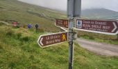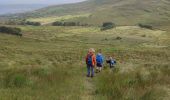

Allihies - Castletownbere

Geert H.
Utilisateur

Longueur
15,4 km

Altitude max
297 m

Dénivelé positif
510 m

Km-Effort
22 km

Altitude min
4 m

Dénivelé négatif
556 m
Boucle
Non
Date de création :
2024-08-18 08:53:33.259
Dernière modification :
2024-08-23 10:20:38.932
3h44
Difficulté : Difficile

Application GPS de randonnée GRATUITE
À propos
Randonnée Marche de 15,4 km à découvrir à Inconnu, County Cork, West Cork. Cette randonnée est proposée par Geert H..
Description
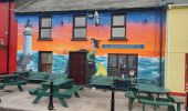
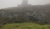
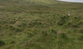
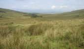
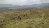
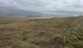
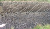
The abandoned copper mines of Allihies, where copper mining was carried out for centuries, are the
central theme of today's hike. Although mining ceased in the mid-19th century, it continues to dominate the area to this day.
Localisation
Pays :
Irlande
Région :
Inconnu
Département/Province :
County Cork
Commune :
West Cork
Localité :
Coulagh
Départ:(Dec)
Départ:(UTM)
427740 ; 5721587 (29U) N.
Commentaires
Randonnées à proximité

Ballydonegan Loop Allihies


Marche
Difficile
West Cork,
Inconnu,
County Cork,
Irlande

17,9 km | 24 km-effort
Inconnu
Oui


 SityTrail


